croatia 1 500 000
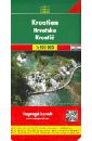
Croatia. 1:500 000
Road map - Dalmatian Islands 1:275 000 - City maps - Index with postal codes
1164 Р.
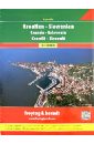
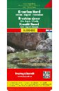
Croatia. 1:750 000
Croatia - Croatia, Slovenia, Bosnia and Herzegovina, Serbia, Montenegro, Kosovo, Macedonia laminated map Automotive 1:750 000 Format: 100 x 47 cm, when folded 11 x 24 cm laminated on both sides, comfortable in making map car the former Yugoslavia - for your holiday on the Adriatic roads in 2010, the sections under construction and planned episodes, car ferries road distances in kilometers, detailed numbering of roads Tourist contents, including historical sites and natural attractions, as well as campsites and mountain refuges Reference village legend in six languages: English, German, French, Polish, Czech and Hungarian
937 Р.

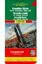
Croatia 1:300 000 / 700 000
This map appears in the map series world mapping project ™ in travel expertise. Characteristic is the high-quality, clear and modern cartographic representation. - Contour lines with elevation - Coloured elevation levels - Classified road network with distances - Places of interest - Detailed local index - GPS capability by longitude and latitude - Legend in four languages (. Ger., Engl, French Polynesia, Span.) - Coast 1:300.000, 1:700.000 inland
608 Р.
Croatia. Slovenia. Superatlas 1:150 000
Spiral-bound Superatlas of Croatia and Slovenia at 1:150,000 scale (1.5 km per cm) that depicts elevation with shaded-relief and color tinting. The 97 map pages for Croatia and 72 pages for Slovenia show highways and roads, scenic routes, rail and ferry lines, ports, distances in kilometers, hotels/inns/campgrounds, natural features, parks, and places of interest. Thorough placename index for both countries. Also included are city center plans for Dubrovnik, Karlovac, Osijek, Pula, Rijeka, Sibenik, Slavonski Brod, Split, Trogir, Umag, Zagreb, Varazdin, Zadar, Celje, Kranj, Koper, Murska Sobota, Ljubljana, Maribor. Includes section on Europe at 1:3.5 million scale (35 km per cm). Map legend in Slovak, Slovenian, Italian, Spanish, Dutch, German, English, French and other languages. Крепление: двойная евроспираль.
1850 Р.
Croatia Coastal. Istria. Dalmatia. Dubrovnik. 1:200 000
High quality road maps with place name index. In many countries these are simply the best maps available. Scales vary according to the size of the country. Index is in several languages.
1007 Р.
Croatia North, Istria, Zagreb-Slavonia. 1:200 000
This map appears in the map series world mapping project in travel expertise. Characteristic is the high-quality, clear and modern cartographic representation. Contour lines with elevation Coloured elevation levels Classified road network with distances Places of interest Detailed local index GPS capability by longitude and latitude UTM mark on the edge of the map
937 Р.
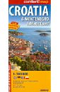
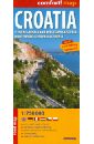
Croatia and Montenegro. Adriatic Coast 1:300 000
This easy-folding laminated comfort! map is durable and water resistant. Map includes up-to-date road network, places of interest, shaded relief and an index of places names. Double sided map. laminated on both sides. - places of tourist and historic interest - shaded relief - 5 city maps - index of names Масштаб 1: 300 000 Легенда на 4 языках.
593 Р.
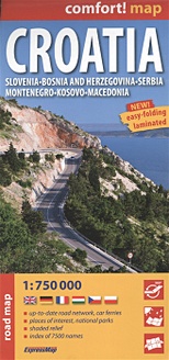
Croatia. Slovenia. Bosnia and Herzegovina. Serbia. Montenegro. Kosovo. Macedonia
Croatia - Croatia, Slovenia, Bosnia and Herzegovina, Serbia, Montenegro, Kosovo, Macedonia laminated map Automotive 1:750 000 Format: 100 x 47 cm, when folded 11 x 24 cm laminated on both sides, comfortable in making map car the former Yugoslavia - for your holiday on the Adriatic roads in 2010, the sections under construction and planned episodes, car ferries road distances in kilometers, detailed numbering of roads Tourist contents, including historical sites and natural attractions, as well as campsites and mountain refuges Reference village legend in six languages: English, German, French, Polish, Czech and Hungarian.
809 Р.
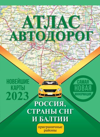
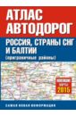
Атлас автодорог России, стран СНГ и Балтии (приграничные районы)
Атлас общим объёмом 136 стр. включает автодорожные карты масштабов 1:200 000, 1:500 000, 1:1 000 000, 1:2 500 000 и 1:5 000 000 на территорию России, стран СНГ и Балтии (приграничные районы), составленные с привлечением топографических материалов и статистических данных. В конце атласа имеется подробный указатель названий населённых пунктов.Атлас в мягкой обложке общим объёмом 136 стр. включает автодорожные карты масштабов 1:200 000, 1:500 000, 1:1 000 000, 1:2 500 000 и 1:5 000 000 на территорию России, стран СНГ и Балтии (приграничные районы), составленные с привлечением топографических материалов и статистических данных. В конце атласа имеется подробный указатель названий населённых пунктов.
469 Р.
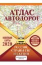
Атлас автодорог России стран СНГ и Балтии
Атлас включает автодорожные карты масштабов 1:200 000, 1:500 000, 1:1 000 000, 1:2 500 000 и 1:5 000 000 на территорию России, стран СНГ и Балтии (приграничные районы), составленные с привлечением топографических материалов и статистических данных. В конце атласа имеется подробный указатель названий населённых пунктов.
738 Р.
Атлас автодорог России, СНГ и Балтии (приграничные районы)
Атлас включает автодорожные карты масштабов 1:200 000, 1:500 000, 1:1 000 000, 1:2 500 000 и 1:5 000 000 на территорию России, стран СНГ и Балтии (приграничные районы), составленные с привлечением топографических материалов и статистических данных. В конце атласа имеется подробный указатель названий населённых пунктов.
730 Р.
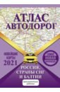
Атлас автодорог России, стран СНГ и Балтии (приграничные районы)
Атлас включает автодорожные карты масштабов 1:200 000, 1:500 000, 1:1 000 000, 1:2 500 000 и 1:5 000 000 на территорию России, стран СНГ и Балтии (приграничные районы), составленные с привлечением топографических материалов и статистических данных. В конце атласа имеется подробный указатель названий населённых пунктов.
791 Р.
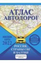
Атлас автодорог России, стран СНГ и Балтии (приграничные районы)
Атлас включает автодорожные карты масштабов 1:200 000, 1:500 000, 1:1 000 000, 1:2 500 000 и 1:5 000 000 на территорию России, стран СНГ и Балтии (приграничные районы), составленные с привлечением топографических материалов и статистических данных. В конце атласа имеется подробный указатель названий населенных пунктов.
428 Р.
Атлас автодорог России стран СНГ и Балтии (приграничные районы)
Атлас включает автодорожные карты масштабов 1:200 000, 1:500 000, 1:1 000 000, 1:2 500 000 и 1:5 000 000 на территорию России, стран СНГ и Балтии (приграничные районы), составленные с привлечением топографических материалов и статистических данных. В конце атласа имеется подробный указатель названий населённых пунктов.
642 Р.